
File:De wit 1680 monemvasia b.jpg
原始文件 (1,836 × 1,457像素,文件大小:685 KB,MIME类型:image/jpeg)
| 描述 |
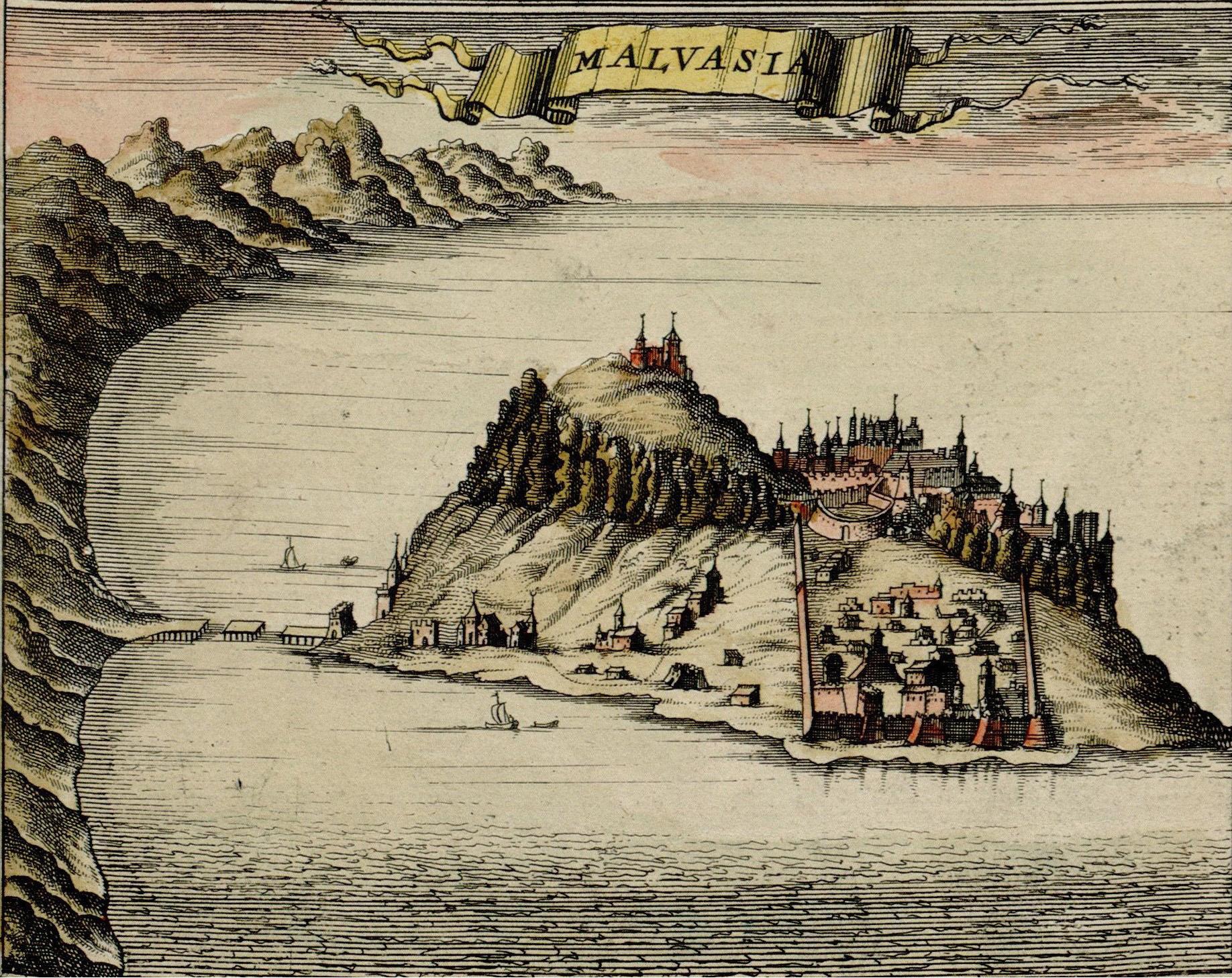
Monemvasia, at the time ruled by the Ottoman Empire, Map made by F. de Witt, Amsterdam, 1680, |
| 日期 | |
| 来源 | http://historic-cities.huji.ac.il/greece/monemvasia/maps/de_wit_1680_monemvasia.html |
| 作者 | F. de Witt |
| 授权 (二次使用本文件) |
Public domain |
|
这是一个平面公有领域艺术品的忠实摄影副本。原艺术品本身因为下列原因属于公有领域:
维基媒体基金会的官方立场认为:“对平面公有领域艺术品的忠实再制作品也属于公有领域。”
因此,可以认为此摄影副本在美国也属于公有领域。在其他司法管辖区,再利用此内容可能存在限制;参见再利用PD-Art照片了解详细信息。 | ||||
| Image taken from: http://historic-cities.huji.ac.il/greece/monemvasia/maps/de_wit_1680_monemvasia.html
Department of Geography, The Hebrew University of Jerusalem |
文件历史
点击某个日期/时间查看对应时刻的文件。
| 日期/时间 | 缩略图 | 大小 | 用户 | 备注 | |
|---|---|---|---|---|---|
| 当前 | 2006年10月9日 (一) 21:38 | | 1,836 × 1,457(685 KB) | Jkelly | Removed "copyright" watermark. |
| 2005年9月6日 (二) 18:19 |  | 1,836 × 1,506(1.32 MB) | Ulrichstill | {{Information| |Description = Monemvasia, at the time a venician city, Map made by F. de Witt, Amsterdam, 1680,<br> Beschreibung: Monemvasia, damals venetianisch. |Source = http://historic-cities.huji.ac.il/greece/monemvasia/maps/de_wit_1680_monemvasia.ht |
文件用途
以下页面使用本文件:
全域文件用途
以下其他wiki使用此文件:
- de.wikipedia.org上的用途
- en.wikipedia.org上的用途
- eo.wikipedia.org上的用途
- es.wikipedia.org上的用途
- fr.wikipedia.org上的用途
- hy.wikipedia.org上的用途
- ja.wikipedia.org上的用途
- la.wikipedia.org上的用途
- mk.wikipedia.org上的用途
- no.wikipedia.org上的用途
- pt.wikipedia.org上的用途
- ru.wikipedia.org上的用途
- sh.wikipedia.org上的用途
- sl.wikipedia.org上的用途
- tr.wikipedia.org上的用途
- uk.wikipedia.org上的用途
- vec.wikipedia.org上的用途